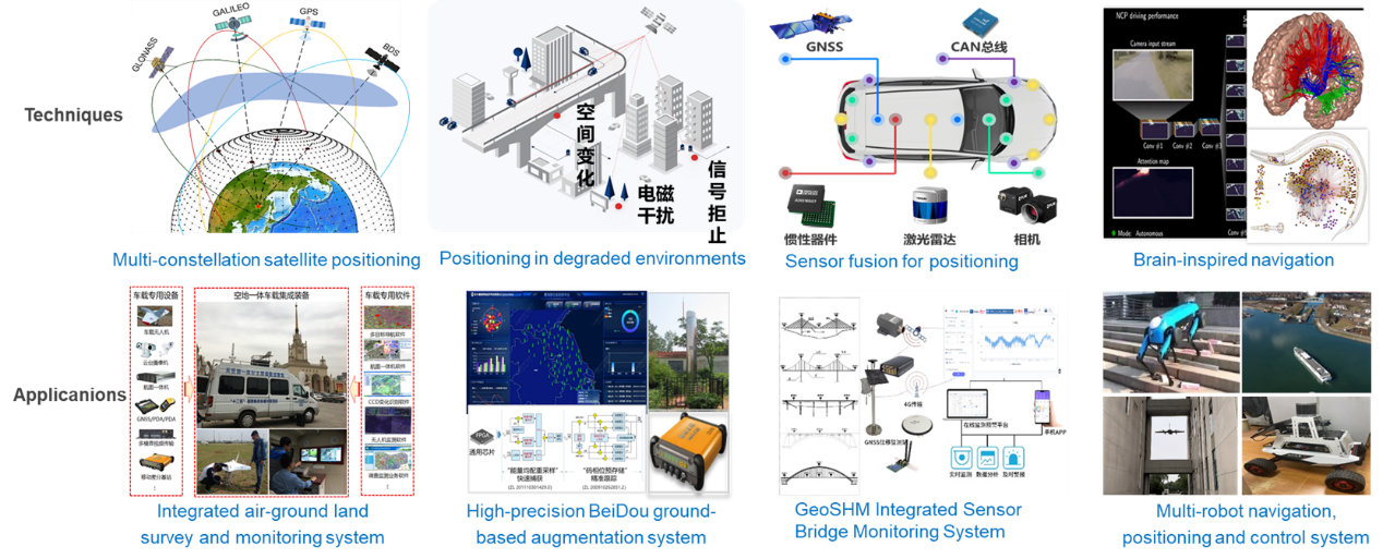

The Institute of Intelligent Positioning, Navigation and Timing (iPNT) employs the BeiDou Satellite Navigation System as its spatiotemporal reference framework, and integrates multiple sensing modalities, including radio, vision, LiDAR, and inertial measurements, to establish a comprehensive spatiotemporal architecture for positioning, perception, planning, and control. The Institute is supported by the National Key Laboratory of Integrated Spatiotemporal Network and Equipment Technology and the Key Laboratory of Micro Inertial Instruments and Advanced Navigation Technology. The applications support autonomous navigation for unmanned systems, intelligent transportation, major national spatiotemporal engineering projects, natural resource monitoring, and other related fields.